
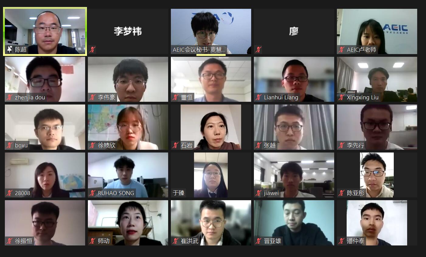
2021 2nd International Conference on Geology, Mapping and Remote Sensing (ICGMRS 2021) has been held online conference on April 23, 2021. ICGMRS 2021 online conference includes 3 keynote speakers and 11 oral speakers to share academic reports.
Thanks to the support of experts and scholars!
第二届地质、测绘与遥感国际学术会议 (ICGMRS 2021)已在2021年4月23日召开线上视频会议。会议包括3位主讲嘉宾及11位口头报告学者的学术分享。感谢参与及听取报告的各位学者!
主讲嘉宾 Keynote Speech
陈超副教授,浙江海洋大学
报告主题:面向群岛区域的海岸线时空格局演变分析
A. Prof. Chao Chen, Zhejiang Ocean University
Title: Spatio-temporal pattern evolution of coastlines for archipelagic regions
董恒副教授,武汉理工大学
报告题目:基于日光诱导叶绿素荧光的陆地总初级生产力估算
A. Prof. Heng Dong, Wuhan University of Technology
Title: Estimation of Global Terrestrial Gross Primary Productivity based on Solar-Induced Chlorophyll Fluorescence
邢学敏副教授,长沙理工大学
A. Prof. Xuemin Xing, Changsha University of Science & Technology
Title: Measuring subsidence over soft clay highway based on a novel time-series InSAR deformation model: with emphasis on rheological properties and seasonal factors
口头报告 Oral Presentation
崔洪武,山东科技大学
报告题目:审计视角下的多源夜间灯光数据研究成果可视化分析
Hongwu Cui, Shandong University of Science and Technology
Title: Visual analysis of research results of multi-source nighttime light data from the audit perspective
徐振恒,核工业北京地质研究院
报告题目:国产高分三号SAR数据在地质资源勘查中的应用
Zhengheng Xu, Beijing Research Institute of Uranium Geology
宋汝昊,桂林理工大学
报告题目:基于三维控制场的鱼眼图像校正
Ruhao Song, Guilin university of technology
Title: Fisheye Image Correction Based on Three- Dimensional Control Field
李先行,桂林理工大学
报告题目:LiDAR的水下信号测量和传输实验设备设计
Xianxing Li, Guilin university of technology
Title: Underwater Signal Measurement and Transmission Experiment Equipment Design for LiDAR
李伟豪,桂林理工大学
Weihao Li, Guilin university of technology
报告题目:Collection Method of Arbitrary Laser Echo Based on STM32
Title: Collection Method of Arbitrary Laser Echo Based on STM32
刘星星,桂林理工大学
报告题目:带约束条件的小型无人机图像的定向
Xingxing Liu, Guilin university of technology
Title: Orientation of Small UAV Images with Constraint
梁联晖,湖南大学
报告题目:基于多尺度DenseNet和Bi-RNN联合网络的高光谱图像分类方法
Lianhui Liang, Hunan University
Title: Hyperspectral Image Classification Method Based on Multi-scale DenseNet and Bi-RNN Joint Network
于臻,天津航测科技中心
Zhen Yu, Tianjin Science and Technology Center of AIS to Navigation and Hydrograph, MSA
Title: Monitoring Islands and Reefs Area Based on Satellite Remote Sensing Image
晋亚雄,西安科技大学
Yaxiong Jin, Xi'an University of Science and Technology
Title: Filtering Processing of Lidar Point Cloud Data
师动,西北大学
Dong Shi, Northwest University
Title: Research on accuracy of field patrol data based on GIS
张越,桂林理工大学
Yue Zhang, Guilin university of technology
Title: Building Semantic Information Extraction Based on Full Convolution Neural Network and Parameter Transfer